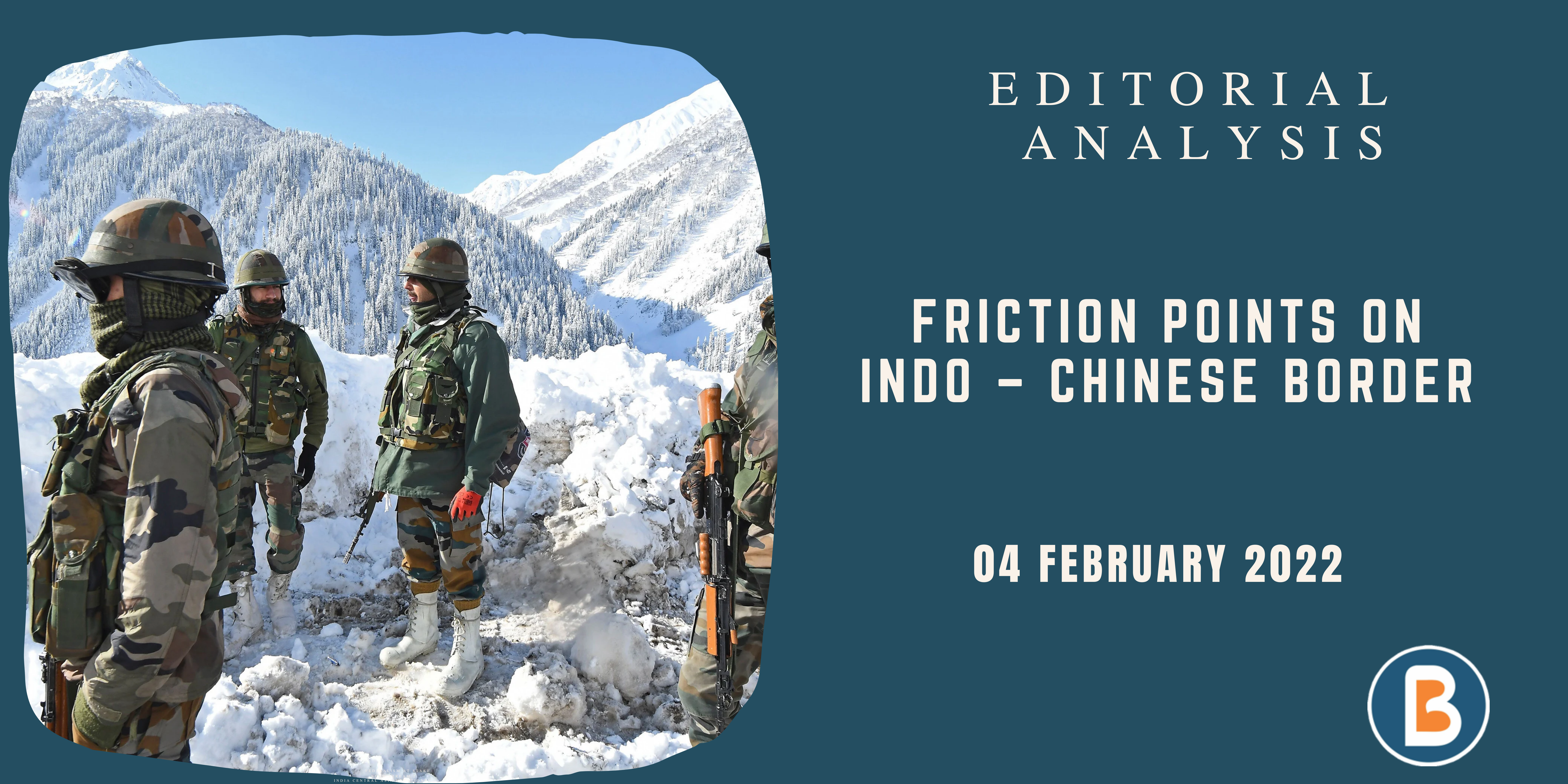
Friction Points on Indo – Chinese Border
Context:
- In a recent television interview, the Indian Army Chief, General M.M. Naravane, argued that “out of the five or six friction points (in Ladakh), five have been solved”.
- ‘Friction point’ is an Indian euphemism for points of Chinese ingress into hitherto India-controlled territory in Ladakh, where this control is exercised by the Army and the Indo-Tibetan Border Police (ITBP) through regular patrols to the claimed areas.
- These ‘friction points’ are Depsang, Galwan, Hot Springs, Gogra, North bank of Pangong Tso, Kailash Range and Demchok.
Overview of the situation:
- By asserting that only one of the friction points is remaining to be resolved — he was referring to Hot Springs or PP15, the only one discussed in the last round of talks with the Chinese — he implicitly ruled out Depsang as an area to be resolved.
- This attempt to delink the strategically important area of Depsang from the ongoing Ladakh border crisis is worrying
- Depsang is an enclave of flat terrain located in an area the Army classifies as Sub-Sector North (SSN), which provides land access to Central Asia through the Karakoram Pass.
- A few kilometres south-east from the important airstrip of Daulat Beg Oldi (DBO), the Chinese army has blocked Indian patrols since early 2020 at a place called Y-junction or Bottleneck, denying it access to five PPs: PP10, PP11, PP11A, PP12 and PP13.
- A joint patrol of the ITBP and Army would patrol these five PPs approximately once a month. Y-junction is around 18 km on the Indian side of the Line of Actual Control, even though the Chinese claim line lies another five kilometres further west, to the east of Burtse town.
- Satellite imagery from November 2021 confirms Chinese deployments at the Y-junction: two PLA Ground Force camps with six infantry fighting vehicles split between two positions while a small Indian Army forward camp is stationed 1.2 km west of the Y-junction.
Depsang’s importance
- The Army has always identified Depsang plains as where it finds itself most vulnerable in Ladakh, devising plans to tackle the major Chinese challenge. SSN’s flat terrain of Depsang, Trig Heights and DBO — which provides direct access to Aksai Chin — is suited for mechanized warfare but is located at the end of only one very long and tenuous communication axis for India.
- China, in turn, has multiple roads that provide easy access to the area.
- This leaves SSN highly vulnerable to capture by the PLA, with a few thousands of square kilometres from the Karakoram Pass to Burtse, likely to be lost.
- Nowhere else in Ladakh is the PLA likely to gain so much territory in a single swoop.
- SSN lies to the east of Siachen, located between the Saltoro ridge on the Pakistani border and the Saser ridge close to the Chinese border.
- On paper, it is the only place where a physical military collusion can take place between Pakistan and China — and the challenge of a two-front war can become real in the worst-case scenario.
- If India loses this area, it will be nearly impossible to launch a military operation to wrest back Gilgit-Baltistan from Pakistan
Way Forward:
- India cannot afford to repeat that blunder again and lose its land.
- As was demonstrated by China in the aftermath of the 1962 War, there should be no holding back in painstakingly asserting one’s claims when it comes to safeguarding the territory.
- Denial of truth for domestic political gains, in this case, will certainly be to the detriment of India’s strategic interests.
Source: THE HINDU.


